Edmonton to Yellowknife Flight Time, Distance, Route Map
Flight time from Edmonton, Canada to Yellowknife, Canada is 1 hours 14 minutes under avarage conditions. Our flight time calculator assumes an average flight speed for a commercial airliner of 500 mph, which is equivalent to 805 km/hr or 434 knots. Actual flight times may vary depending on aircraft type, cruise speed, routing, weather conditions, passenger load, and other factors.
What is the Flight Distance Between Edmonton and Yellowknife?
The flight distance from Edmonton (Canada) to Yellowknife (Canada) is 617 miles. This is equivalent to 992 kilometers or 536 nautical miles. The calculated distance (air line) is the straight line distance or direct flight distance between cities. The nearest airport to Edmonton, is Edmonton International Airport (YEG) and the nearest airport to Yellowknife, is Yellowknife Airport (YZF).
Edmonton - Yellowknife Timezones & Time Difference
Current local time in Edmonton is 2025-05-13, 21:01:08 MDT
Current local time in Yellowknife is 2025-05-13, 20:01:08 MST.
Time difference between Edmonton (Canada) and Yellowknife (Canada) is 1 Hours.
Yellowknife time is 1 Hours behind Edmonton.
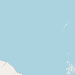
Edmonton to Yellowknife Flight Route Map
Flight map from Edmonton, Canada to Yellowknife, Canada is given below.Click the map to view Edmonton to Yellowknife nonstop flight path and travel direction.
   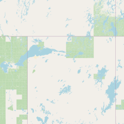     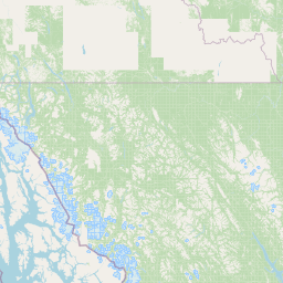 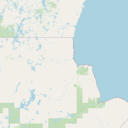     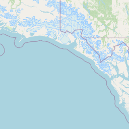     Leaflet | © OpenStreetMap The distance between cities calculated based on their latitudes and longitudes. This is also called distance as the crow flies. Bird flight distance is calculated by drawing a straight line between two point coordinates. The length of this drawn line will give the shortest distance value. This distance may be very much different from the actual travel distance. Edmonton GPS Coordinates: Latitude: N 53° 32' 39.8'' Longitude: W 113° 29' 27.3'' Yellowknife GPS Coordinates: Latitude: N 62° 27' 14.3'' Longitude: W 114° 22' 18.4'' Edmonton Map, Where is Edmonton located? Yellowknife Map, Where is Yellowknife located? |
Popular Searches from Edmonton
- Edmonton to Kolkata flight time, duration and distance
- Edmonton to Québec City flight time, duration and distance
- Edmonton to Toronto flight time, duration and distance
- Edmonton to Calgary flight time, duration and distance
- Edmonton to Hawaii Volcanoes National Park flight time, duration and distance
- Edmonton to Victoria flight time, duration and distance
- Edmonton to Cancún flight time, duration and distance
- Edmonton to Amsterdam flight time, duration and distance
- Edmonton to Paris flight time, duration and distance
- Edmonton to Miami flight time, duration and distance
- Edmonton to Oslo flight time, duration and distance
- Edmonton to Oslo flight time, duration and distance
- Edmonton to Parkbeg flight time, duration and distance
- Edmonton to Davidson flight time, duration and distance
- Edmonton to Newark flight time, duration and distance
- Edmonton to Tampa flight time, duration and distance
- Edmonton to Tampa flight time, duration and distance
- Edmonton to Dallas flight time, duration and distance
- Edmonton to Miami flight time, duration and distance
- Edmonton to New York flight time, duration and distance
Popular Searches from Yellowknife
- Yellowknife to Whitehorse flight time, duration and distance
- Yellowknife to Edmonton flight time, duration and distance
- Yellowknife to Toronto flight time, duration and distance
- Yellowknife to Gjoa Haven flight time, duration and distance
- Yellowknife to Helsinki flight time, duration and distance
- Yellowknife to Reykjavík flight time, duration and distance
- Yellowknife to London flight time, duration and distance