Amsterdam to Seattle Flight Time, Distance, Route Map
Flight time from Amsterdam, Netherlands to Seattle, United States is 9 hours 44 minutes under avarage conditions. Our flight time calculator assumes an average flight speed for a commercial airliner of 500 mph, which is equivalent to 805 km/hr or 434 knots. Actual flight times may vary depending on aircraft type, cruise speed, routing, weather conditions, passenger load, and other factors.
What is the Flight Distance Between Amsterdam and Seattle?
The flight distance from Amsterdam (Netherlands) to Seattle (United States) is 4863 miles. This is equivalent to 7826 kilometers or 4223 nautical miles. The calculated distance (air line) is the straight line distance or direct flight distance between cities. The nearest airport to Amsterdam, is Amsterdam-Schiphol Airport (AMS) and the nearest airport to Seattle, is Boeing Field International Airport (BFI).
Amsterdam - Seattle Timezones & Time Difference
Current local time in Amsterdam is 2025-04-18, 19:14:01 CEST
Current local time in Seattle is 2025-04-18, 11:14:01 MDT.
Time difference between Amsterdam (Netherlands) and Seattle (United States) is 8 Hours.
Seattle time is 8 Hours behind Amsterdam.
Amsterdam to Seattle Flight Route Map
Flight map from Amsterdam, Netherlands to Seattle, United States is given below.Click the map to view Amsterdam to Seattle nonstop flight path and travel direction.
        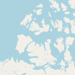 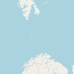      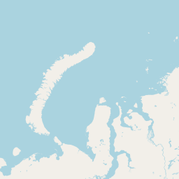    Leaflet | © OpenStreetMap The distance between cities calculated based on their latitudes and longitudes. This is also called distance as the crow flies. Bird flight distance is calculated by drawing a straight line between two point coordinates. The length of this drawn line will give the shortest distance value. This distance may be very much different from the actual travel distance. Amsterdam GPS Coordinates: Latitude: N 52° 22' 12.8'' Longitude: E 4° 53' 42.6'' Seattle GPS Coordinates: Latitude: N 47° 36' 22.4'' Longitude: W 122° 19' 55.5'' Amsterdam Map, Where is Amsterdam located? Seattle Map, Where is Seattle located? |
Popular Searches from Amsterdam
- Amsterdam to Strasbourg flight time, duration and distance
- Amsterdam to Linate flight time, duration and distance
- Amsterdam to İstanbul flight time, duration and distance
- Amsterdam to Doha flight time, duration and distance
- Amsterdam to London flight time, duration and distance
- Amsterdam to Athens flight time, duration and distance
- Amsterdam to Bangkok flight time, duration and distance
- Amsterdam to Sydney flight time, duration and distance
- Amsterdam to Minneapolis flight time, duration and distance
- Amsterdam to Uzbekistan flight time, duration and distance
- Amsterdam to Toronto flight time, duration and distance
- Amsterdam to Mumbai flight time, duration and distance
- Amsterdam to Barcelona flight time, duration and distance
- Amsterdam to Palermo flight time, duration and distance
- Amsterdam to New York flight time, duration and distance
- Amsterdam to Busuanga flight time, duration and distance
- Amsterdam to Boston flight time, duration and distance
- Amsterdam to New York flight time, duration and distance
- Amsterdam to Detroit flight time, duration and distance
Popular Searches from Seattle
- Seattle to Bellingham flight time, duration and distance
- Seattle to Charlotte flight time, duration and distance
- Seattle to Tokyo flight time, duration and distance
- Seattle to Hyderabad flight time, duration and distance
- Seattle to Milan flight time, duration and distance
- Seattle to San Diego flight time, duration and distance
- Seattle to Newark flight time, duration and distance
- Seattle to San Francisco flight time, duration and distance
- Seattle to Newark flight time, duration and distance
- Seattle to Milwaukee flight time, duration and distance
- Seattle to Redmond flight time, duration and distance
- Seattle to Bangkok flight time, duration and distance
- Seattle to Monterey flight time, duration and distance
- Seattle to Salt Lake City flight time, duration and distance
- Seattle to Anchorage flight time, duration and distance
- Seattle to Rome flight time, duration and distance
- Seattle to Austin flight time, duration and distance
- Seattle to London flight time, duration and distance