Beijing to Hainan Tibetan Autonomous Prefecture Flight Time, Distance, Route Map
Flight time from Beijing, China to Hainan Tibetan Autonomous Prefecture, China is 1 hours 47 minutes under avarage conditions. Our flight time calculator assumes an average flight speed for a commercial airliner of 500 mph, which is equivalent to 805 km/hr or 434 knots. Actual flight times may vary depending on aircraft type, cruise speed, routing, weather conditions, passenger load, and other factors.
What is the Flight Distance Between Beijing and Hainan Tibetan Autonomous Prefecture?
The flight distance from Beijing (China) to Hainan Tibetan Autonomous Prefecture (China) is 893 miles. This is equivalent to 1436 kilometers or 775 nautical miles. The calculated distance (air line) is the straight line distance or direct flight distance between cities. The nearest airport to Beijing, is Capital Airport (PEK) and the nearest airport to Hainan Tibetan Autonomous Prefecture, is Xining Airport (XNN).
Beijing - Hainan Tibetan Autonomous Prefecture Timezones & Time Difference
Current local time in Beijing is 2025-08-02, 07:10:31 CST
Current local time in Hainan Tibetan Autonomous Prefecture is 2025-08-02, 05:10:31 +06.
Time difference between Beijing (China) and Hainan Tibetan Autonomous Prefecture (China) is 2 Hours.
Hainan Tibetan Autonomous Prefecture time is 2 Hours behind Beijing.
Beijing to Hainan Tibetan Autonomous Prefecture Flight Route Map
Flight map from Beijing, China to Hainan Tibetan Autonomous Prefecture, China is given below.Click the map to view Beijing to Hainan Tibetan Autonomous Prefecture nonstop flight path and travel direction.
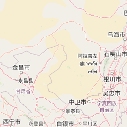 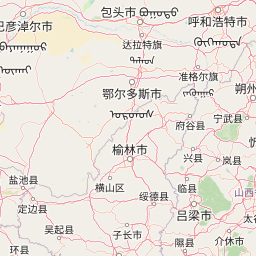    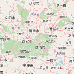 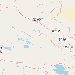 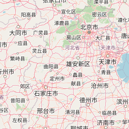  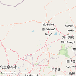 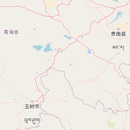 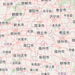 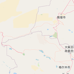 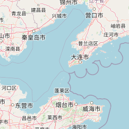 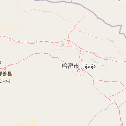 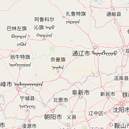 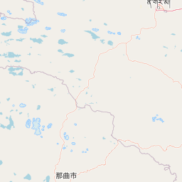 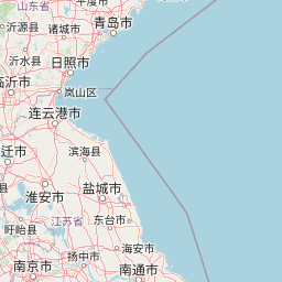  Leaflet | © OpenStreetMap The distance between cities calculated based on their latitudes and longitudes. This is also called distance as the crow flies. Bird flight distance is calculated by drawing a straight line between two point coordinates. The length of this drawn line will give the shortest distance value. This distance may be very much different from the actual travel distance. Beijing GPS Coordinates: Latitude: N 39° 54' 15.2'' Longitude: E 116° 24' 26.6'' Hainan Tibetan Autonomous Prefecture GPS Coordinates: Latitude: N 36° 17' 47.7'' Longitude: E 100° 37' 21.7'' Beijing Map, Where is Beijing located? Hainan Tibetan Autonomous Prefecture Map, Where is Hainan Tibetan Autonomous Prefecture located? |
Popular Searches from Beijing
- Beijing to Xi'An flight time, duration and distance
- Beijing to Sydney flight time, duration and distance
- Beijing to Zhangjiajie flight time, duration and distance
- Beijing to Funchal flight time, duration and distance
- Beijing to Lisbon flight time, duration and distance
- Beijing to Tehran flight time, duration and distance
- Beijing to Kansas City flight time, duration and distance
- Beijing to Heihe flight time, duration and distance
- Beijing to Moscow flight time, duration and distance
- Beijing to Ankara flight time, duration and distance
- Beijing to Guangzhou flight time, duration and distance
- Beijing to Moscow flight time, duration and distance
- Beijing to Washington flight time, duration and distance
- Beijing to Cape Town flight time, duration and distance
- Beijing to Ho Chi Minh City flight time, duration and distance
- Beijing to Sangkat Phnom Penh Thmei flight time, duration and distance
- Beijing to Houston flight time, duration and distance
- Beijing to New York flight time, duration and distance
- Beijing to Wellington flight time, duration and distance
- Beijing to Sentani flight time, duration and distance