Melbourne to Wellington Flight Time, Distance, Route Map
Flight time from Melbourne, Australia to Wellington, New Zealand is 3 hours 12 minutes under avarage conditions. Our flight time calculator assumes an average flight speed for a commercial airliner of 500 mph, which is equivalent to 805 km/hr or 434 knots. Actual flight times may vary depending on aircraft type, cruise speed, routing, weather conditions, passenger load, and other factors.
What is the Flight Distance Between Melbourne and Wellington?
The flight distance from Melbourne (Australia) to Wellington (New Zealand) is 1599 miles. This is equivalent to 2573 kilometers or 1388 nautical miles. The calculated distance (air line) is the straight line distance or direct flight distance between cities. The nearest airport to Melbourne, is Essendon Airport (MEB) and the nearest airport to Wellington, is Wellington International Airport (WLG).
Melbourne - Wellington Timezones & Time Difference
Current local time in Melbourne is 2025-05-14, 23:52:12 AEST
Current local time in Wellington is 2025-05-15, 01:52:12 NZST.
Time difference between Melbourne (Australia) and Wellington (New Zealand) is 2 Hours.
Wellington time is 2 Hours ahead of Melbourne.
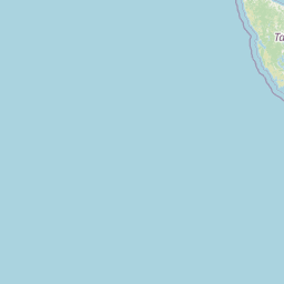
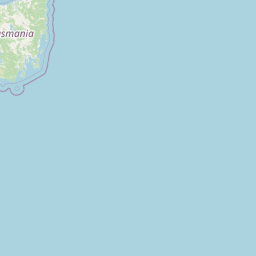
Melbourne to Wellington Flight Route Map
Flight map from Melbourne, Australia to Wellington, New Zealand is given below.Click the map to view Melbourne to Wellington nonstop flight path and travel direction.
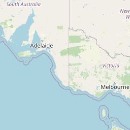 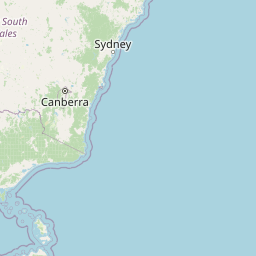  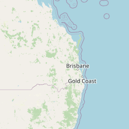      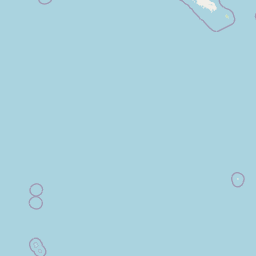  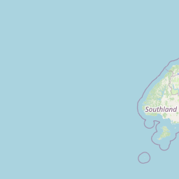 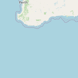 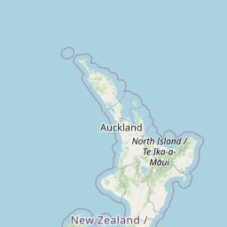 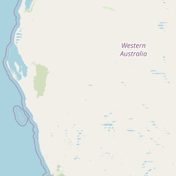   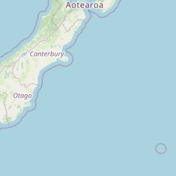  Leaflet | © OpenStreetMap The distance between cities calculated based on their latitudes and longitudes. This is also called distance as the crow flies. Bird flight distance is calculated by drawing a straight line between two point coordinates. The length of this drawn line will give the shortest distance value. This distance may be very much different from the actual travel distance. Melbourne GPS Coordinates: Latitude: S 37° 48' 50.8'' Longitude: E 144° 57' 47.8'' Wellington GPS Coordinates: Latitude: S 41° 17' 11.3'' Longitude: E 174° 46' 34.4'' Melbourne Map, Where is Melbourne located? Wellington Map, Where is Wellington located? |
Popular Searches from Melbourne
- Melbourne to London flight time, duration and distance
- Melbourne to Dubai flight time, duration and distance
- Melbourne to Munich flight time, duration and distance
- Melbourne to Paris flight time, duration and distance
- Melbourne to Tokyo flight time, duration and distance
- Melbourne to Argentina flight time, duration and distance
- Melbourne to Vladivostok flight time, duration and distance
- Melbourne to Atlanta flight time, duration and distance
- Melbourne to Rio de Janeiro flight time, duration and distance
- Melbourne to Rio de Janeiro flight time, duration and distance
- Melbourne to London flight time, duration and distance
- Melbourne to New York flight time, duration and distance
- Melbourne to Honolulu flight time, duration and distance
- Melbourne to Los Angeles flight time, duration and distance
- Melbourne to New York flight time, duration and distance
- Melbourne to Antananarivo flight time, duration and distance
- Melbourne to Plaine Magnien flight time, duration and distance
- Melbourne to Seychalles flight time, duration and distance
- Melbourne to Malé flight time, duration and distance
- Melbourne to Maldive Village flight time, duration and distance
Popular Searches from Wellington
- Wellington to St. John's flight time, duration and distance
- Wellington to Vladivostok flight time, duration and distance
- Wellington to Vladivostok flight time, duration and distance
- Wellington to Cottbus flight time, duration and distance
- Wellington to Nagercoil flight time, duration and distance
- Wellington to Madagan flight time, duration and distance
- Wellington to Vladivostok flight time, duration and distance
- Wellington to Los Angeles flight time, duration and distance
- Wellington to Vladivostok flight time, duration and distance
- Wellington to São Paulo flight time, duration and distance
- Wellington to Santiago flight time, duration and distance
- Wellington to Antananarivo flight time, duration and distance
- Wellington to Beijing flight time, duration and distance
- Wellington to Los Angeles flight time, duration and distance
- Wellington to Vladivostok flight time, duration and distance
- Wellington to Delhi flight time, duration and distance
- Wellington to İstanbul flight time, duration and distance
- Wellington to Kyiv flight time, duration and distance
- Wellington to Los Angeles flight time, duration and distance
- Wellington to Cape Town flight time, duration and distance