Nairobi to Kigali Flight Time, Distance, Route Map
Flight time from Nairobi, Kenya to Kigali, Rwanda is 0 hours 56 minutes under avarage conditions. Our flight time calculator assumes an average flight speed for a commercial airliner of 500 mph, which is equivalent to 805 km/hr or 434 knots. Actual flight times may vary depending on aircraft type, cruise speed, routing, weather conditions, passenger load, and other factors.
What is the Flight Distance Between Nairobi and Kigali?
The flight distance from Nairobi (Kenya) to Kigali (Rwanda) is 470 miles. This is equivalent to 755 kilometers or 408 nautical miles. The calculated distance (air line) is the straight line distance or direct flight distance between cities. The nearest airport to Nairobi, is Wilson Airport (WIL) and the nearest airport to Kigali, is Gregoire Kayibanda Airport (KGL).
Nairobi - Kigali Timezones & Time Difference
Current local time in Nairobi is 2025-08-11, 12:01:00 EAT
Current local time in Kigali is 2025-08-11, 11:01:00 CAT.
Time difference between Nairobi (Kenya) and Kigali (Rwanda) is 1 Hours.
Kigali time is 1 Hours behind Nairobi.
Nairobi to Kigali Flight Route Map
Flight map from Nairobi, Kenya to Kigali, Rwanda is given below.Click the map to view Nairobi to Kigali nonstop flight path and travel direction.
 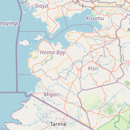    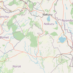    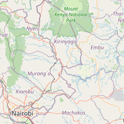    Leaflet | © OpenStreetMap The distance between cities calculated based on their latitudes and longitudes. This is also called distance as the crow flies. Bird flight distance is calculated by drawing a straight line between two point coordinates. The length of this drawn line will give the shortest distance value. This distance may be very much different from the actual travel distance. Nairobi GPS Coordinates: Latitude: S 1° 17' 31.4'' Longitude: E 36° 49' 19'' Kigali GPS Coordinates: Latitude: S 1° 56' 38.7'' Longitude: E 30° 3' 42.8'' Nairobi Map, Where is Nairobi located? Kigali Map, Where is Kigali located? |
Popular Searches from Nairobi
- Nairobi to London flight time, duration and distance
- Nairobi to Nakuru flight time, duration and distance
- Nairobi to Wuxi flight time, duration and distance
- Nairobi to Entebbe flight time, duration and distance
- Nairobi to Los Angeles flight time, duration and distance
- Nairobi to Moscow flight time, duration and distance
- Nairobi to Washington flight time, duration and distance
- Nairobi to Sal Rei flight time, duration and distance
- Nairobi to Amsterdam flight time, duration and distance
- Nairobi to Moscow flight time, duration and distance
- Nairobi to Bishkek flight time, duration and distance
- Nairobi to Dakar flight time, duration and distance
- Nairobi to Antananarivo flight time, duration and distance
- Nairobi to Casablanca flight time, duration and distance
- Nairobi to Douala flight time, duration and distance
- Nairobi to Mombasa flight time, duration and distance
- Nairobi to São Paulo flight time, duration and distance
- Nairobi to Maun flight time, duration and distance
- Nairobi to Dar es Salaam flight time, duration and distance
Popular Searches from Kigali
- Kigali to Johannesburg flight time, duration and distance
- Kigali to Johannesburg flight time, duration and distance
- Kigali to Cape Town flight time, duration and distance
- Kigali to Alajuela flight time, duration and distance
- Kigali to Kilimanjaro flight time, duration and distance
- Kigali to Kilimanjaro flight time, duration and distance
- Kigali to Kilimanjaro flight time, duration and distance
- Kigali to São Paulo flight time, duration and distance
- Kigali to Dubai flight time, duration and distance
- Kigali to Dar es Salaam flight time, duration and distance
- Kigali to İstanbul flight time, duration and distance
- Kigali to Budapest flight time, duration and distance
- Kigali to Moscow flight time, duration and distance