Astana to Ulaanbaatar Flight Time, Distance, Route Map
Flight time from Astana, Kazakhstan to Ulaanbaatar, Mongolia is 3 hours 10 minutes under avarage conditions. Our flight time calculator assumes an average flight speed for a commercial airliner of 500 mph, which is equivalent to 805 km/hr or 434 knots. Actual flight times may vary depending on aircraft type, cruise speed, routing, weather conditions, passenger load, and other factors.
What is the Flight Distance Between Astana and Ulaanbaatar?
The flight distance from Astana (Kazakhstan) to Ulaanbaatar (Mongolia) is 1590 miles. This is equivalent to 2558 kilometers or 1381 nautical miles. The calculated distance (air line) is the straight line distance or direct flight distance between cities. The nearest airport to Astana, is Nursultan Nazarbayev International Airport (NQZ) and the nearest airport to Ulaanbaatar, is Buyant Uhaa Airport (ULN).
Astana - Ulaanbaatar Timezones & Time Difference
Current local time in Astana is 2025-03-15, 05:51:30 +05
Current local time in Ulaanbaatar is 2025-03-15, 08:51:30 +08.
Time difference between Astana (Kazakhstan) and Ulaanbaatar (Mongolia) is 3 Hours.
Ulaanbaatar time is 3 Hours ahead of Astana.
Astana to Ulaanbaatar Flight Route Map
Flight map from Astana, Kazakhstan to Ulaanbaatar, Mongolia is given below.Click the map to view Astana to Ulaanbaatar nonstop flight path and travel direction.
   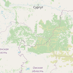      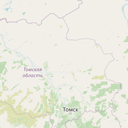    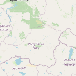  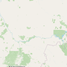    Leaflet | © OpenStreetMap The distance between cities calculated based on their latitudes and longitudes. This is also called distance as the crow flies. Bird flight distance is calculated by drawing a straight line between two point coordinates. The length of this drawn line will give the shortest distance value. This distance may be very much different from the actual travel distance. Astana GPS Coordinates: Latitude: N 51° 9' 37.9'' Longitude: E 71° 28' 13.3'' Ulaanbaatar GPS Coordinates: Latitude: N 47° 53' 11'' Longitude: E 106° 54' 20.7'' Astana Map, Where is Astana located? Ulaanbaatar Map, Where is Ulaanbaatar located? |
Popular Searches from Astana
- Astana to Dakar flight time, duration and distance
- Astana to Phuket flight time, duration and distance
- Astana to Phuket flight time, duration and distance
- Astana to İstanbul flight time, duration and distance
- Astana to Moscow flight time, duration and distance
- Astana to Cam Ranh flight time, duration and distance
- Astana to Tashkent flight time, duration and distance
- Astana to Tashkent flight time, duration and distance
- Astana to New Delhi flight time, duration and distance
- Astana to Islamabad flight time, duration and distance
- Astana to Singapore flight time, duration and distance
- Astana to Port Louis flight time, duration and distance
- Astana to Frankfurt flight time, duration and distance
- Astana to Almaty flight time, duration and distance
- Astana to Dubai flight time, duration and distance
- Astana to Bishkek flight time, duration and distance
- Astana to Ulaanbaatar flight time, duration and distance
- Astana to Moscow flight time, duration and distance
Popular Searches from Ulaanbaatar
- Ulaanbaatar to Rio de Janeiro flight time, duration and distance
- Ulaanbaatar to New York flight time, duration and distance
- Ulaanbaatar to Los Angeles flight time, duration and distance
- Ulaanbaatar to Tehran flight time, duration and distance
- Ulaanbaatar to Tehran flight time, duration and distance
- Ulaanbaatar to Tehran flight time, duration and distance
- Ulaanbaatar to Tokyo flight time, duration and distance
- Ulaanbaatar to Irkutsk flight time, duration and distance
- Ulaanbaatar to Denpasar Utara flight time, duration and distance
- Ulaanbaatar to İstanbul flight time, duration and distance
- Ulaanbaatar to Qingdao flight time, duration and distance
- Ulaanbaatar to Erenhot flight time, duration and distance
- Ulaanbaatar to Ulgii flight time, duration and distance
- Ulaanbaatar to Seoul flight time, duration and distance
- Ulaanbaatar to Samara flight time, duration and distance
- Ulaanbaatar to Almaty flight time, duration and distance
- Ulaanbaatar to Johannesburg flight time, duration and distance