Burleson to Opelika Flight Time, Distance, Route Map
Flight time from Burleson, United States to Opelika, United States is 1 hours 23 minutes under avarage conditions. Our flight time calculator assumes an average flight speed for a commercial airliner of 500 mph, which is equivalent to 805 km/hr or 434 knots. Actual flight times may vary depending on aircraft type, cruise speed, routing, weather conditions, passenger load, and other factors.
What is the Flight Distance Between Burleson and Opelika?
The flight distance from Burleson (United States) to Opelika (United States) is 695 miles. This is equivalent to 1119 kilometers or 604 nautical miles. The calculated distance (air line) is the straight line distance or direct flight distance between cities. The nearest airport to Burleson, is Carswell Air Force Base (FWH) and the nearest airport to Opelika, is Auburn-Opelika Airport (AUO).
Burleson - Opelika Timezones & Time Difference
Current local time in Burleson is 2025-03-21, 16:01:35 MDT
Current local time in Opelika is 2025-03-21, 18:01:35 EDT.
Time difference between Burleson (United States) and Opelika (United States) is 2 Hours.
Opelika time is 2 Hours ahead of Burleson.
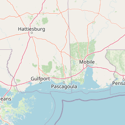
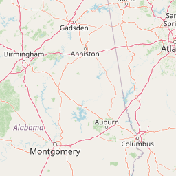
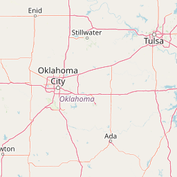
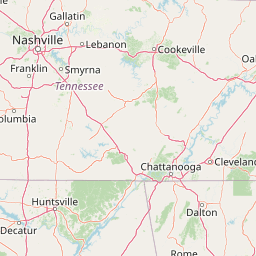
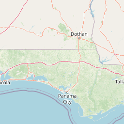
Burleson to Opelika Flight Route Map
Flight map from Burleson, United States to Opelika, United States is given below.Click the map to view Burleson to Opelika nonstop flight path and travel direction.
     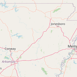               Leaflet | © OpenStreetMap The distance between cities calculated based on their latitudes and longitudes. This is also called distance as the crow flies. Bird flight distance is calculated by drawing a straight line between two point coordinates. The length of this drawn line will give the shortest distance value. This distance may be very much different from the actual travel distance. Burleson GPS Coordinates: Latitude: N 32° 32' 31.5'' Longitude: W 97° 19' 15.1'' Opelika GPS Coordinates: Latitude: N 32° 38' 43.5'' Longitude: W 85° 22' 41.8'' Burleson Map, Where is Burleson located? Opelika Map, Where is Opelika located? |
Popular Searches from Burleson
- Burleson to Kansas City flight time, duration and distance
- Burleson to Fort Davis flight time, duration and distance
- Burleson to Opelika flight time, duration and distance
- Burleson to College Station flight time, duration and distance
- Burleson to Opelika flight time, duration and distance
- Burleson to New York flight time, duration and distance
- Burleson to Phoenix flight time, duration and distance
- Burleson to Detroit flight time, duration and distance
- Burleson to Santa Ana flight time, duration and distance
- Burleson to Phoenix flight time, duration and distance
- Burleson to Santa Ana flight time, duration and distance
- Burleson to Opelika flight time, duration and distance
- Burleson to Nauvoo flight time, duration and distance
- Burleson to Irvine flight time, duration and distance