Kazan to Tyumen Flight Time, Distance, Route Map
Flight time from Kazan, Russia to Tyumen, Russia is 1 hours 16 minutes under avarage conditions. Our flight time calculator assumes an average flight speed for a commercial airliner of 500 mph, which is equivalent to 805 km/hr or 434 knots. Actual flight times may vary depending on aircraft type, cruise speed, routing, weather conditions, passenger load, and other factors.
What is the Flight Distance Between Kazan and Tyumen?
The flight distance from Kazan (Russia) to Tyumen (Russia) is 633 miles. This is equivalent to 1019 kilometers or 550 nautical miles. The calculated distance (air line) is the straight line distance or direct flight distance between cities. The nearest airport to Kazan, is Kazan Airport (KZN) and the nearest airport to Tyumen, is Tyumen Airport (TJM).
Kazan - Tyumen Timezones & Time Difference
Current local time in Kazan is 2025-05-09, 02:05:42 +04
Current local time in Tyumen is 2025-05-09, 03:05:42 +05.
Time difference between Kazan (Russia) and Tyumen (Russia) is 1 Hours.
Tyumen time is 1 Hours ahead of Kazan.
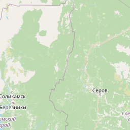
Kazan to Tyumen Flight Route Map
Flight map from Kazan, Russia to Tyumen, Russia is given below.Click the map to view Kazan to Tyumen nonstop flight path and travel direction.
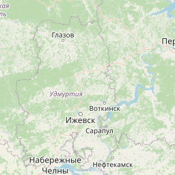 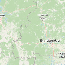   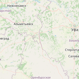 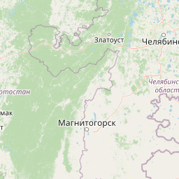 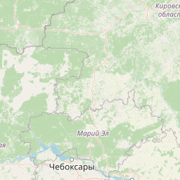 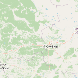  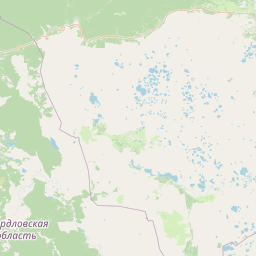    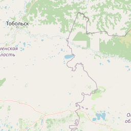      Leaflet | © OpenStreetMap The distance between cities calculated based on their latitudes and longitudes. This is also called distance as the crow flies. Bird flight distance is calculated by drawing a straight line between two point coordinates. The length of this drawn line will give the shortest distance value. This distance may be very much different from the actual travel distance. Kazan GPS Coordinates: Latitude: N 55° 47' 16.4'' Longitude: E 49° 7' 24'' Tyumen GPS Coordinates: Latitude: N 57° 9' 19.2'' Longitude: E 65° 33' 42.7'' Kazan Map, Where is Kazan located? Tyumen Map, Where is Tyumen located? |
Popular Searches from Kazan
- Kazan to Sharm El-Sheikh flight time, duration and distance
- Kazan to Mineralnye Vody flight time, duration and distance
- Kazan to Sochi flight time, duration and distance
- Kazan to Cam Ranh flight time, duration and distance
- Kazan to Shanghai flight time, duration and distance
- Kazan to Gorno-Altaysk flight time, duration and distance
- Kazan to Gorno-Altaysk flight time, duration and distance
- Kazan to Salekhard flight time, duration and distance
- Kazan to Phuket flight time, duration and distance
- Kazan to Shanghai flight time, duration and distance
- Kazan to Sevastopol flight time, duration and distance
- Kazan to Antalya flight time, duration and distance
- Kazan to Nadi flight time, duration and distance
- Kazan to İstanbul flight time, duration and distance
- Kazan to Shanghai flight time, duration and distance
- Kazan to Tyumen flight time, duration and distance
- Kazan to Mirny flight time, duration and distance
- Kazan to Orenburg flight time, duration and distance
- Kazan to Syktyvkar flight time, duration and distance
- Kazan to Minsk flight time, duration and distance
Popular Searches from Tyumen
- Tyumen to Beijing flight time, duration and distance
- Tyumen to Tokyo flight time, duration and distance
- Tyumen to Makhachkala flight time, duration and distance
- Tyumen to Yekaterinburg flight time, duration and distance
- Tyumen to Sochi flight time, duration and distance
- Tyumen to Moscow flight time, duration and distance
- Tyumen to Salekhard flight time, duration and distance
- Tyumen to Adler flight time, duration and distance
- Tyumen to Khanty-Mansiysk flight time, duration and distance
- Tyumen to Antalya flight time, duration and distance
- Tyumen to Mineralnye Vody flight time, duration and distance
- Tyumen to Salekhard flight time, duration and distance
- Tyumen to Sochi flight time, duration and distance
- Tyumen to Salekhard flight time, duration and distance
- Tyumen to Sochi flight time, duration and distance
- Tyumen to Yekaterinburg flight time, duration and distance
- Tyumen to Chelyabinsk flight time, duration and distance
- Tyumen to Moscow flight time, duration and distance
- Tyumen to Gorno-Altaysk flight time, duration and distance
- Tyumen to Beijing flight time, duration and distance