Moscow to Helsinki Flight Time, Distance, Route Map
Flight time from Moscow, Russia to Helsinki, Finland is 1 hours 6 minutes under avarage conditions. Our flight time calculator assumes an average flight speed for a commercial airliner of 500 mph, which is equivalent to 805 km/hr or 434 knots. Actual flight times may vary depending on aircraft type, cruise speed, routing, weather conditions, passenger load, and other factors.
What is the Flight Distance Between Moscow and Helsinki?
The flight distance from Moscow (Russia) to Helsinki (Finland) is 555 miles. This is equivalent to 893 kilometers or 482 nautical miles. The calculated distance (air line) is the straight line distance or direct flight distance between cities. The nearest airport to Moscow, is Sheremetyevo Airport (SVO) and the nearest airport to Helsinki, is Helsinki-Vantaa Airport (HEL).
Moscow - Helsinki Timezones & Time Difference
Current local time in Moscow is 2025-03-18, 01:59:44 MSK
Current local time in Helsinki is 2025-03-18, 00:59:44 EET.
Time difference between Moscow (Russia) and Helsinki (Finland) is 1 Hours.
Helsinki time is 1 Hours behind Moscow.
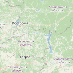
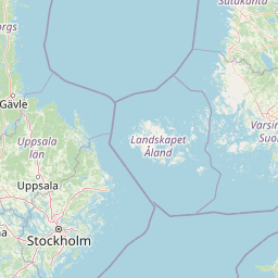
Moscow to Helsinki Flight Route Map
Flight map from Moscow, Russia to Helsinki, Finland is given below.Click the map to view Moscow to Helsinki nonstop flight path and travel direction.
 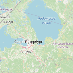  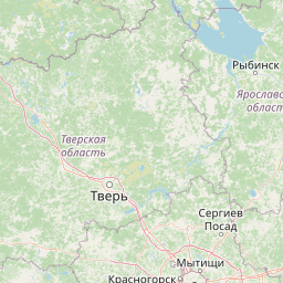  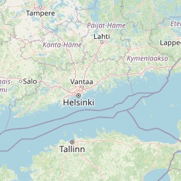 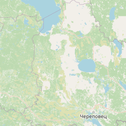          Leaflet | © OpenStreetMap The distance between cities calculated based on their latitudes and longitudes. This is also called distance as the crow flies. Bird flight distance is calculated by drawing a straight line between two point coordinates. The length of this drawn line will give the shortest distance value. This distance may be very much different from the actual travel distance. Moscow GPS Coordinates: Latitude: N 55° 45' 21'' Longitude: E 37° 37' 2.3'' Helsinki GPS Coordinates: Latitude: N 60° 10' 11.5'' Longitude: E 24° 56' 18.2'' Moscow Map, Where is Moscow located? Helsinki Map, Where is Helsinki located? |
Popular Searches from Moscow
- Moscow to Riga flight time, duration and distance
- Moscow to Vilnius flight time, duration and distance
- Moscow to Tallinn flight time, duration and distance
- Moscow to Oslo flight time, duration and distance
- Moscow to Helsinki flight time, duration and distance
- Moscow to Warsaw flight time, duration and distance
- Moscow to Lisbon flight time, duration and distance
- Moscow to Los Angeles flight time, duration and distance
- Moscow to Cancún flight time, duration and distance
- Moscow to Havana flight time, duration and distance
- Moscow to New York flight time, duration and distance
- Moscow to Cape Town flight time, duration and distance
- Moscow to Sydney flight time, duration and distance
- Moscow to Mexico City flight time, duration and distance
- Moscow to Sochi flight time, duration and distance
- Moscow to Tel Aviv-Yafo flight time, duration and distance
- Moscow to İstanbul flight time, duration and distance
- Moscow to Goa Velha flight time, duration and distance
- Moscow to Havana flight time, duration and distance
- Moscow to İstanbul flight time, duration and distance
Popular Searches from Helsinki
- Helsinki to Bangkok flight time, duration and distance
- Helsinki to Rome flight time, duration and distance
- Helsinki to Seville flight time, duration and distance
- Helsinki to Dubai flight time, duration and distance
- Helsinki to Oslo flight time, duration and distance
- Helsinki to Stockholm flight time, duration and distance
- Helsinki to Vienna flight time, duration and distance
- Helsinki to Stuttgart flight time, duration and distance
- Helsinki to Florence flight time, duration and distance
- Helsinki to Vilnius flight time, duration and distance
- Helsinki to Riga flight time, duration and distance
- Helsinki to Singapore flight time, duration and distance
- Helsinki to Bangkok flight time, duration and distance
- Helsinki to Seoul flight time, duration and distance
- Helsinki to London flight time, duration and distance
- Helsinki to Boston flight time, duration and distance
- Helsinki to Riga flight time, duration and distance
- Helsinki to Los Angeles flight time, duration and distance
- Helsinki to San Francisco flight time, duration and distance
- Helsinki to Cape Town flight time, duration and distance