Osaka to Naha Flight Time, Distance, Route Map
Flight time from Osaka, Japan to Naha, Japan is 1 hours 29 minutes under avarage conditions. Our flight time calculator assumes an average flight speed for a commercial airliner of 500 mph, which is equivalent to 805 km/hr or 434 knots. Actual flight times may vary depending on aircraft type, cruise speed, routing, weather conditions, passenger load, and other factors.
What is the Flight Distance Between Osaka and Naha?
The flight distance from Osaka (Japan) to Naha (Japan) is 749 miles. This is equivalent to 1204 kilometers or 650 nautical miles. The calculated distance (air line) is the straight line distance or direct flight distance between cities. The nearest airport to Osaka, is Itami Airport (ITM) and the nearest airport to Naha, is Naha Airport (OKA).
Osaka - Naha Timezones & Time Difference
Current local time in Osaka is 2025-05-08, 19:50:52 JST
Current local time in Naha is 2025-05-08, 19:50:52 JST.
Time difference between Osaka (Japan) and Naha (Japan) is 0 Hours.
Osaka to Naha Flight Route Map
Flight map from Osaka, Japan to Naha, Japan is given below.Click the map to view Osaka to Naha nonstop flight path and travel direction.
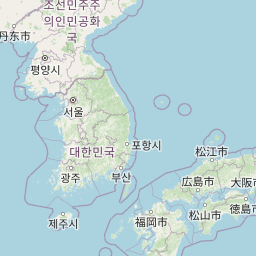 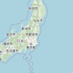        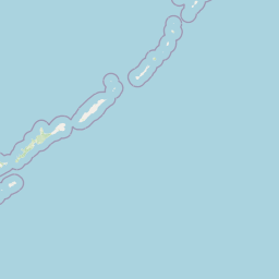          Leaflet | © OpenStreetMap The distance between cities calculated based on their latitudes and longitudes. This is also called distance as the crow flies. Bird flight distance is calculated by drawing a straight line between two point coordinates. The length of this drawn line will give the shortest distance value. This distance may be very much different from the actual travel distance. Osaka GPS Coordinates: Latitude: N 34° 41' 37.5'' Longitude: E 135° 30' 7.8'' Naha GPS Coordinates: Latitude: N 26° 12' 44.3'' Longitude: E 127° 40' 45'' Osaka Map, Where is Osaka located? Naha Map, Where is Naha located? |
Popular Searches from Osaka
- Osaka to Hanoi flight time, duration and distance
- Osaka to San Francisco flight time, duration and distance
- Osaka to İstanbul flight time, duration and distance
- Osaka to Helsinki flight time, duration and distance
- Osaka to Florida City flight time, duration and distance
- Osaka to Oslo flight time, duration and distance
- Osaka to Anchorage flight time, duration and distance
- Osaka to San Francisco flight time, duration and distance
- Osaka to Taipei flight time, duration and distance
- Osaka to Tokyo flight time, duration and distance
- Osaka to Kuala Lumpur flight time, duration and distance
- Osaka to Hong Kong flight time, duration and distance
- Osaka to Tokyo flight time, duration and distance
- Osaka to South San Francisco flight time, duration and distance
- Osaka to Minato City flight time, duration and distance
- Osaka to Chicago flight time, duration and distance
- Osaka to Paris flight time, duration and distance
- Osaka to Naha flight time, duration and distance
- Osaka to Taipei flight time, duration and distance
- Osaka to Seoul flight time, duration and distance