Port of Spain to Rionegro Flight Time, Distance, Route Map
Flight time from Port of Spain, Trinidad and Tobago to Rionegro, Colombia is 1 hours 59 minutes under avarage conditions. Our flight time calculator assumes an average flight speed for a commercial airliner of 500 mph, which is equivalent to 805 km/hr or 434 knots. Actual flight times may vary depending on aircraft type, cruise speed, routing, weather conditions, passenger load, and other factors.
What is the Flight Distance Between Port of Spain and Rionegro?
The flight distance from Port of Spain (Trinidad and Tobago) to Rionegro (Colombia) is 998 miles. This is equivalent to 1605 kilometers or 866 nautical miles. The calculated distance (air line) is the straight line distance or direct flight distance between cities. The nearest airport to Port of Spain, is Piarco Airport (POS) and the nearest airport to Rionegro, is Jose Maria Cordova (MDE).
Port of Spain - Rionegro Timezones & Time Difference
Current local time in Port of Spain is 2025-03-15, 14:42:11 AST
Current local time in Rionegro is 2025-03-15, 13:42:11 -05.
Time difference between Port of Spain (Trinidad and Tobago) and Rionegro (Colombia) is 1 Hours.
Rionegro time is 1 Hours behind Port of Spain.
Port of Spain to Rionegro Flight Route Map
Flight map from Port of Spain, Trinidad and Tobago to Rionegro, Colombia is given below.Click the map to view Port of Spain to Rionegro nonstop flight path and travel direction.
  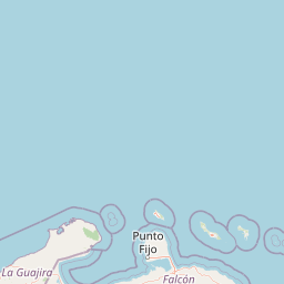 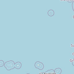    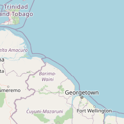 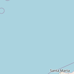 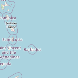  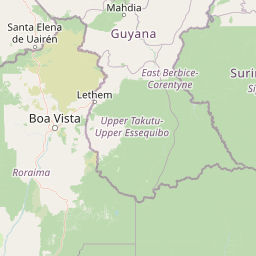      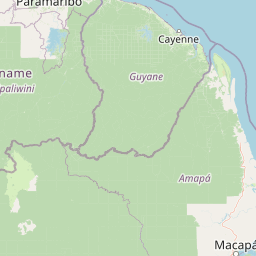  Leaflet | © OpenStreetMap The distance between cities calculated based on their latitudes and longitudes. This is also called distance as the crow flies. Bird flight distance is calculated by drawing a straight line between two point coordinates. The length of this drawn line will give the shortest distance value. This distance may be very much different from the actual travel distance. Port of Spain GPS Coordinates: Latitude: N 10° 38' 58.5'' Longitude: W 61° 30' 51.3'' Rionegro GPS Coordinates: Latitude: N 6° 8' 56.5'' Longitude: W 75° 22' 44.2'' Port of Spain Map, Where is Port of Spain located? Rionegro Map, Where is Rionegro located? |
Popular Searches from Port of Spain
- Port of Spain to Toronto flight time, duration and distance
- Port of Spain to Miami flight time, duration and distance
- Port of Spain to Bridgetown flight time, duration and distance
- Port of Spain to Paramaribo flight time, duration and distance
- Port of Spain to London flight time, duration and distance
- Port of Spain to Georgetown flight time, duration and distance
- Port of Spain to Kingston flight time, duration and distance
- Port of Spain to San Juan flight time, duration and distance
- Port of Spain to Bridgetown flight time, duration and distance
- Port of Spain to Bahamas flight time, duration and distance
- Port of Spain to Miami flight time, duration and distance
- Port of Spain to Saint John's flight time, duration and distance
- Port of Spain to Kingston flight time, duration and distance
- Port of Spain to Lagos flight time, duration and distance
- Port of Spain to Georgetown flight time, duration and distance
- Port of Spain to Warsaw flight time, duration and distance
- Port of Spain to Bogota flight time, duration and distance
- Port of Spain to Rionegro flight time, duration and distance
- Port of Spain to New York flight time, duration and distance
Popular Searches from Rionegro
- Rionegro to Rio de Janeiro flight time, duration and distance
- Rionegro to San Diego flight time, duration and distance
- Rionegro to Peachtree City flight time, duration and distance
- Rionegro to Minneapolis flight time, duration and distance
- Rionegro to Viru Viru flight time, duration and distance
- Rionegro to Montevideo flight time, duration and distance
- Rionegro to Quito flight time, duration and distance
- Rionegro to Buenos Aires flight time, duration and distance
- Rionegro to Panama City flight time, duration and distance
- Rionegro to Harbel flight time, duration and distance
- Rionegro to Chiclayo flight time, duration and distance
- Rionegro to Stephenville flight time, duration and distance
- Rionegro to Port-au-Prince flight time, duration and distance
- Rionegro to Latacunga Canton flight time, duration and distance
- Rionegro to Rio de Janeiro flight time, duration and distance
- Rionegro to Trujillo flight time, duration and distance
- Rionegro to Montevideo flight time, duration and distance
- Rionegro to Tegucigalpa flight time, duration and distance
- Rionegro to Minneapolis flight time, duration and distance
- Rionegro to Liberia flight time, duration and distance